Access the Map Type menu from the Component ribbon; the drop down offers 5 map types (as described below), each of which supports bubble maps, shape maps , and heat maps.
The default map type is the flat map; to change the map type, open the drop-down and select the required type. Click the Map Type button to revert back to a flat map.
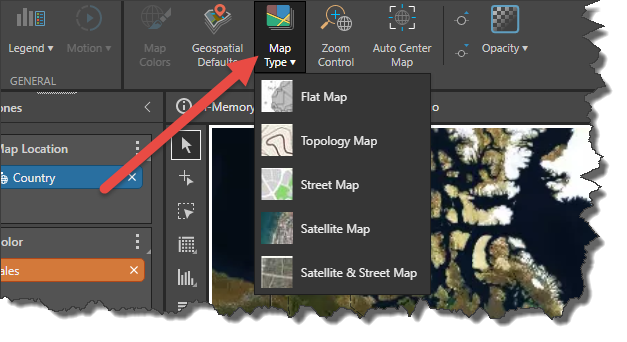
Flat Map (default)
Plotted cities on a Flat Map.
Topology Map
Plotted counties on a Topology Map.

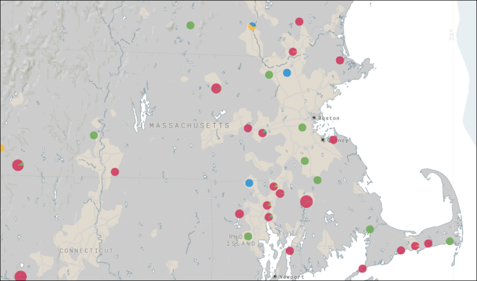
Street Map
Plotted addresses on a Street Map.

Satellite Map
Plotted states on a Satellite Map.

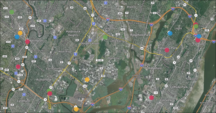
Satellite & Street Map
Plotted addresses on a Satellite & Street Map.
Blank Map
The lank map is only available for shape maps. When working with shape maps, the blank map will be exposed in the Map Type menu:

The blank map only displays shapes for which there is data. As with all shape maps, data labels are enabled by default to show values; you can also show vales, percentages and captions, or disable data labels.
